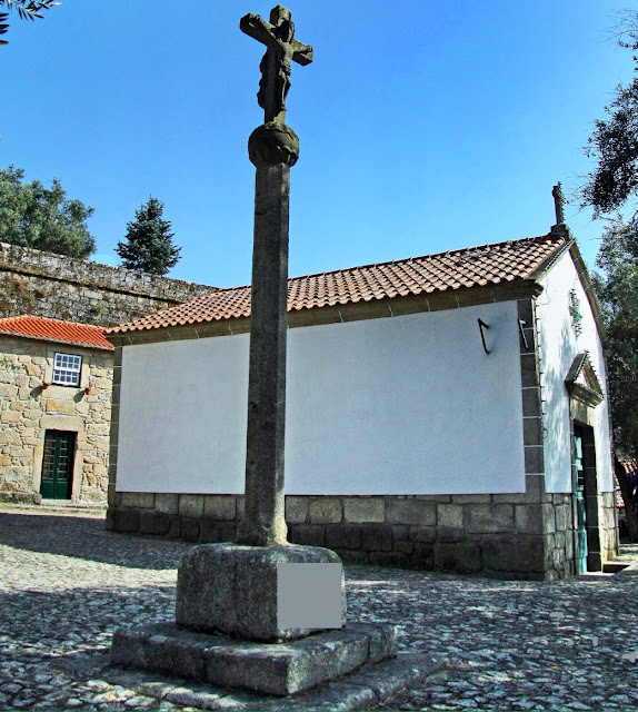
VILA NOVA DE CERVEIRA
N 41º 55' 48''; W 8º 43' 48''
It is the seat of a municipality with 108.47 km² in area and 9,253 inhabitants (2011), subdivided into 11 parishes. The municipality is limited to the northeast by the municipality of Valença, to the east by Paredes de Coura, to the southeast by Ponte de Lima, to the southwest by Caminha, and to the northwest by Galicia (municipalities of Rosal and Tomiño).
The highest point in the municipality is located at the top of São Paio, with 638 meters of altitude, in the parish of Loivo.
Its main parish is Campos, as the two industrial centers are located there, which develop and revitalize the entire municipality and neighboring municipalities.
💓💓💓💓💓
SEARCH IN ALPHABETICAL ORDER
IN THE DISTRICT OF VIANA DO CASTELO
Paredes de Coura;
Peneda-Gerês National Park;
Ponte da Barca;
Ponte de Lima;
Sistelo;
Soajo;
Valença + Tui - Tuy (Spain);
VIANA DO CASTELO;
Vila Nova de Cerveira;
Vila Praia de Ãncora;
Peneda-Gerês National Park;
Ponte da Barca;
Ponte de Lima;
Sistelo;
Soajo;
Valença + Tui - Tuy (Spain);
VIANA DO CASTELO;
Vila Nova de Cerveira;
Vila Praia de Ãncora;
💓💓💓💓💓
Return to mainland Portugal &
the Azores and Madeira islands


